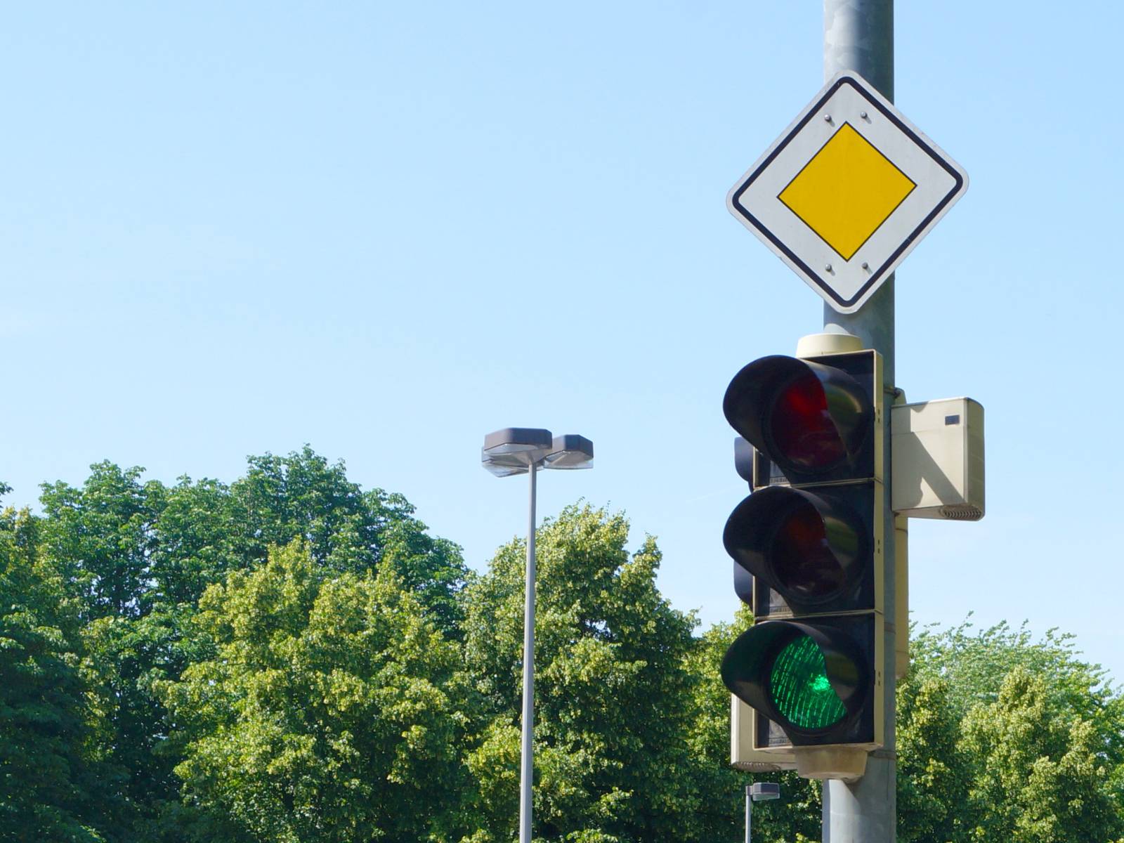
The app displays the optimal speed on the smartphone screen so that the driver can arrive at the next traffic light just as it turns green. It uses the location data from the user’s phone to identify upcoming traffic lights. Current predictions from the city’s traffic management system are then retrieved and displayed for these lights.
"trafficpilot" was developed by Gevas Software. It can be downloaded from the Apple App Store (iOS) or the Google Play Store (Android). The app was funded as part of the Federal Ministry of Digital and Transport’s (BMDV) "Clean Air Immediate Action Program" and is a measure under the "Sustainable Mobility for the City – Green City Plan" master plan. The political basis for this initiative is a motion to establish an automated traffic situation calculation system (Parliamentary Document No. H-0187/2017), the cross-party motion "Clean Air for Hanover," which calls for, among other things, the stabilization of motor vehicle traffic (Parliamentary Document No. 3158/2018) and its implementation through printed paper No. 1761/2020.
Purposes of using "trafficpilot"
"trafficpilot" is designed to harmonize the driving behavior of road users. For example, accelerating before a traffic light that is about to turn red does not help drivers get ahead and causes unnecessarily high emissions. Using the app can prevent unnecessary stops, avoid sudden braking or acceleration, and reduce fuel consumption and emissions. Driving in city traffic becomes more anticipatory, relaxed, and consistent.
The app is already in use in other cities in Germany and Austria and is constantly being improved. Düsseldorf, Frankfurt, and Kassel were the first to adopt it. The positive results in these cities have led to the gradual expansion of the pilot areas, and citywide coverage is now available.
Plans to expand to the entire city and include bicycle traffic
During an open-ended pilot phase, "trafficpilot" will initially be tested at a total of 44 traffic lights in Hanover. The test area covers the Cityring around the city center and sections of the access roads Vahrenwalder Straße, Lavesallee, Marienstraße, Bischofsholer Damm, and Hildesheimer Straße. The traffic lights currently available can be viewed on a map. The system will be gradually rolled out across the entire city. In the future, all traffic signal systems connected to the Hannover traffic computer network are expected to be available. By providing traffic signal control information to road users, a first step has been taken toward "Car2Infrastructure communication," which forms an important foundation for automated and connected driving.
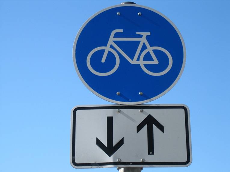
The next major step is to expand the system to include cyclists. As part of the city’s “Restart: #HANnovativ” smart city initiative, traffic light information will initially be generated and made available to cyclists as well. In the future, the goal is to create ways for cyclists to actively influence traffic light cycles.
Improving the quality of forecasts
In addition, the quality of the forecasts is to be optimized using user data. In addition, the pilot implementation of the traffic light phase assistant for light rail and buses is part of the research project "Optimally Controlled Traffic Signals in Local Transport (LOGIN)," in which the city, together with Üstra, the Region Hannover, and various other research partners, is developing the foundations for the public transport priority systems of the future.
In Hannover, all traffic lights respond dynamically to a wide variety of factors:
- Pedestrians who press a button to request a green light,
- Buses and light rail trains that are given priority at the intersection
- or heavier traffic coming from one direction or the other.
In such cases, making a prediction is more difficult and sometimes only possible on very short notice (or not at all if the traffic light data isn’t transmitted quickly enough). To account for these effects, the prediction’s reliability is also indicated by color: Uncertain predictions are displayed in gray in the app—red and green appear paler and darker. Often, this applies only to parts of the forecast, and there are still reliable red and green zones that help you choose the right approach speed.
Troubleshooting in offline mode
If the forecasts do not meet the established quality requirements, the display of these traffic lights in the system is deactivated so that the cause can be investigated in protected offline mode. Users can also actively log individual trips and send them to the app operator to help ensure continuous optimization.
How the app works
The prediction is displayed as a red-and-green overlay on the street shown on the screen. The app uses the color around the central arrow icon to indicate whether the next traffic light will be red or green if the user maintains their current speed. Users also receive a prediction of what the traffic light color would be if they drove faster or slower. If the user stops, the current status of the traffic light is shown. If the light is red, the expected time until the light changes is counted down (if available). Additionally, a voice prompt can be activated to indicate the correct speed for catching the green wave (within the legal speed limit).
Safe Use of the App
As a general rule, the trafficpilot app should not be used while driving, and you must keep an eye on traffic conditions even when using it. You should continue to drive defensively and cautiously. Using the app does not replace checking the traffic light. In case of doubt, always follow the traffic light signal.
Various questions and answers are available at https://trafficpilot.eu/#faq. Additionally, anyone with questions or comments can contact us by email at trafficpilot@hannover-stadt.de.
About the "Clean Air" Emergency Program
The Federal Ministry of Digital and Transport’s (BMDV) “Clean Air” emergency program provided funding to municipalities that had repeatedly exceeded the permissible annual average limits for nitrogen dioxide up through 2017. While the Federal Immission Control Ordinance permits a maximum limit of 40 µg/m³, the actual annual average concentration at the most heavily polluted monitoring stations in 2017 was 48 µg/m³.
The primary source of NO₂ pollution on the streets where limit values have been exceeded is emissions from motor vehicle traffic. According to the Federal Environment Agency, traffic accounts for more than 60 percent of local pollution. In terms of nitrogen oxides, motor vehicles account for up to 75 percent of total pollution in some cases.
To counteract these effects, various potential measures were evaluated in the "Sustainable Mobility for the City – Green City Plan" with regard to their impact on air pollution. One of the measures deemed effective was the development of a traffic light phase assistant.
 Deutsch
 English
 中文
中文
 Danish
 Eesti
Eesti
 Español
 Suomi
Suomi
 Français
 Italiano
 日本語
日本語
 한국
한국
 Nederlands
 Norge
Norge
 Polski
 Portugues
 Русский
 Svenska
 Türkçe
 العربية
 Romanesc
 български