 Deutsch
 English
 中文
中文
 Danish
 Eesti
Eesti
 Español
 Suomi
Suomi
 Français
 Italiano
 日本語
日本語
 한국
한국
 Nederlands
 Norge
Norge
 Polski
 Portugues
 Русский
 Svenska
 Türkçe
 العربية
 Romanesc
 български
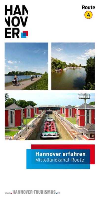
Cycling in Hannover
Route 4: Mittellandkanal Route
Cycling through green Hannover!
Explore Hanover—eco-friendly by bike:
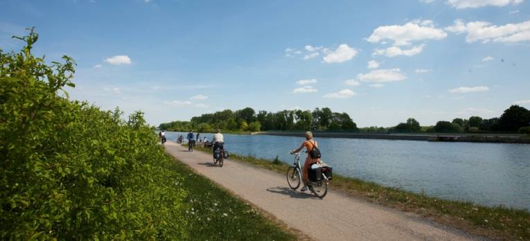
The Mittellandkanal route stretches about 22 kilometers from the "Friedhof auf der Horst" light rail station to the Anderter Lock. The well-marked route alternates between the north and south banks. Join us on a cycling journey of discovery through the canal’s past and present.
The Mittelland Canal
Route 4 through the city of Hannover
Hannover erfahren – The Mittelland Canal Route
A tour along the Mittelland Canal—it doesn't get much flatter than this!
readBlue ribbon with green border
Construction began in 1906 on what is now Lower Saxony’s most important and busiest waterway. By 1916, the canal builders had reached Hannover. With the completion of the Anderter Lock, the canal was extended to Peine (1929) and Braunschweig (1933). In 1928, the connection to the Elbe was completed. In 1965, work began on expanding the waterway to accommodate large motor vessels.
As part of the expansion to a standard width of 42 meters, the urban section of the Mittellandkanal in Hannover was renovated between 1985 and Expo 2000. Nearly all 32 road and rail bridges were rebuilt. Just take a closer look: no two are alike. The City Administration and the Waterways and Shipping Authority have thus given the Mittellandkanal in Hannover a distinctive character and redesigned the riverbanks into a “linear city park” in accordance with a landscape plan.
The main attractions along this route are listed below:
- Flood bridge
- North Harbor West
- Red modernity
- Coal, coal, coal
- Marina
- The super bridge
- Waterfall
- Anderter Schleuse
Route 4: Mitelland Canal Route
Route 4: Mitelland Canal Route
From the flood bridge near Seelze to the lock in Anderten
File type: pdf Size: 921,24 kB

Cycling in the city
Itinerary suggestions for "Exploring Hannover"
Explore Hannover by bike: Six scenic cycling routes take you to the most beautiful spots in Hannover, the state capital.
readTourist Info Icon
30159 Hannover