 Deutsch
 English
 中文
中文
 Danish
 Eesti
Eesti
 Español
 Suomi
Suomi
 Français
 Italiano
 日本語
日本語
 한국
한국
 Nederlands
 Norge
Norge
 Polski
 Portugues
 Русский
 Svenska
 Türkçe
 العربية
 Romanesc
 български
Cycling in Hanover
Route 5: Eilenriede Route
Explore Hanover—eco-friendly by bike:
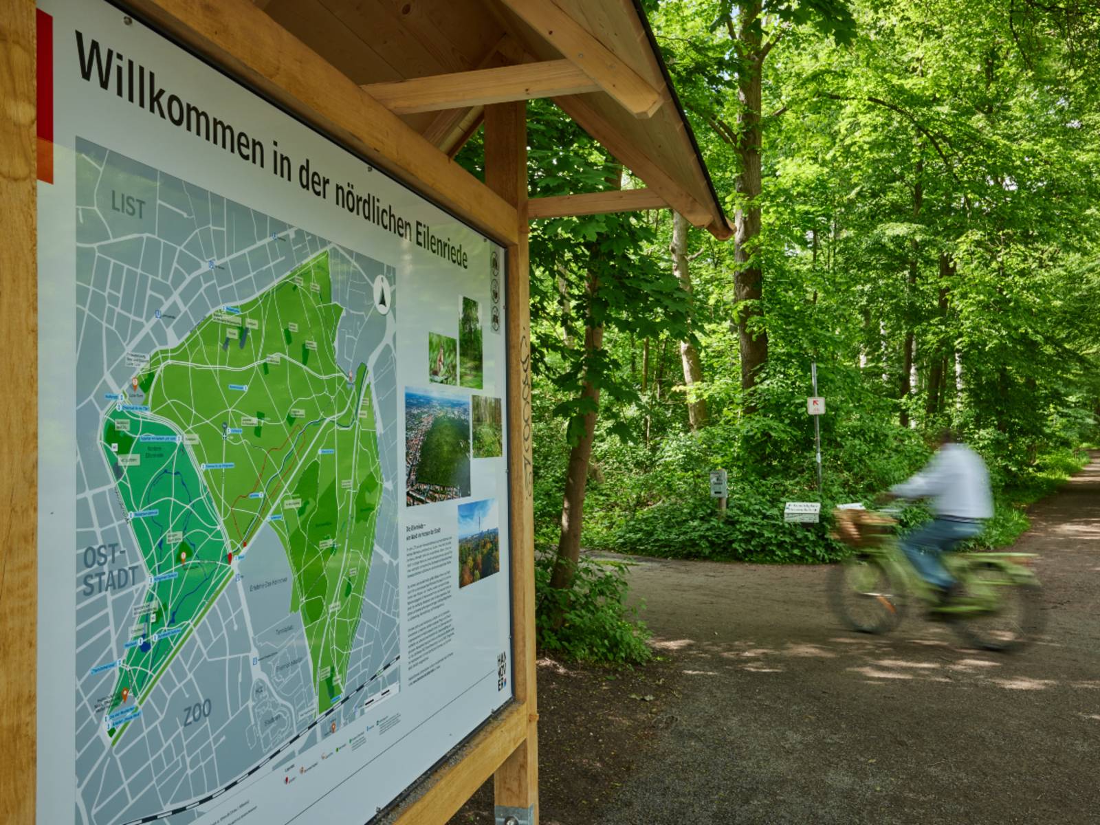
Cycling in the Eilenriede
The Eilenriede Route stretches about 11 kilometers from Maschsee to the lock in Anderten. This brochure tells you what there is to discover along this well-marked route. So hop on your bike and have a great ride!
The Eilenriede
The green oasis in the middle of the city

Download for editorial use: Image in printable resolution (300dpi)Copyright: HMTG
Covering approximately 640 hectares, it is one of the largest urban forests in Europe. It is the remnant of a prehistoric forest belt in the glacial valley of the Leine River, which stretched roughly between Hildesheim and Neustadt and was first mentioned in 1333 as "elenriede." The name likely means “wet forest.” Since 1371, the city forest has officially been the property of the citizens of Hannover. In the late Middle Ages, the city had an extensive system of ramparts and ditches constructed in the Eilenriede. Parts of this defensive system have survived to this day. Since the 19th century, the forest has transformed from a working forest into a recreational forest with playgrounds, sunbathing areas, and a dense network of paths. The front section of the Eilenriede was redesigned around 1900 by garden director Julius Trip into a forest park featuring a watercourse and sculptures. The southern section, through which this route passes, is partly the result of later reforestation efforts.
The main attractions along this route are listed below:
- Maschsee
- Döhrener Turm
- Big Bump
- Eilenriede City Forest
- Hermann-Löns Park
- Tiergarten
- Anderten lock
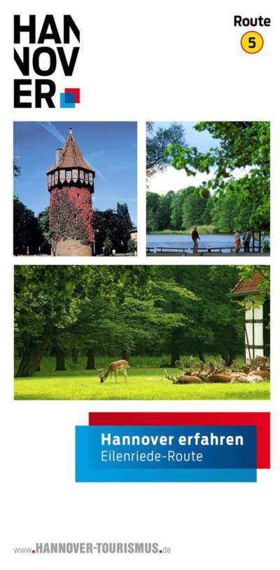
Route 5: Eilenriede Route
Route 5: Eilenriede Route
From Maschsee to the lock in Anderten
File type: pdf Size: 1,03 MB
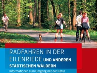
Cycling in the Eilenriede
Cycling in the Eilenriede
Cycling in the Eilenriede – Information on Respecting Nature
File type: pdf Size: 1.51 MB

Cycling in the city
Itinerary suggestions for "Exploring Hannover"
Explore Hannover by bike: Six scenic cycling routes take you to the most beautiful spots in Hannover, the state capital.
readTourist Info Icon
30159 Hannover