 Deutsch
 English
 中文
中文
 Danish
 Eesti
Eesti
 Español
 Suomi
Suomi
 Français
 Italiano
 日本語
日本語
 한국
한국
 Nederlands
 Norge
Norge
 Polski
 Portugues
 Русский
 Svenska
 Türkçe
 العربية
 Romanesc
 български
Lakes
Ricklinger gravel ponds
Local recreation in the south of Hannover
Ricklinger gravel ponds
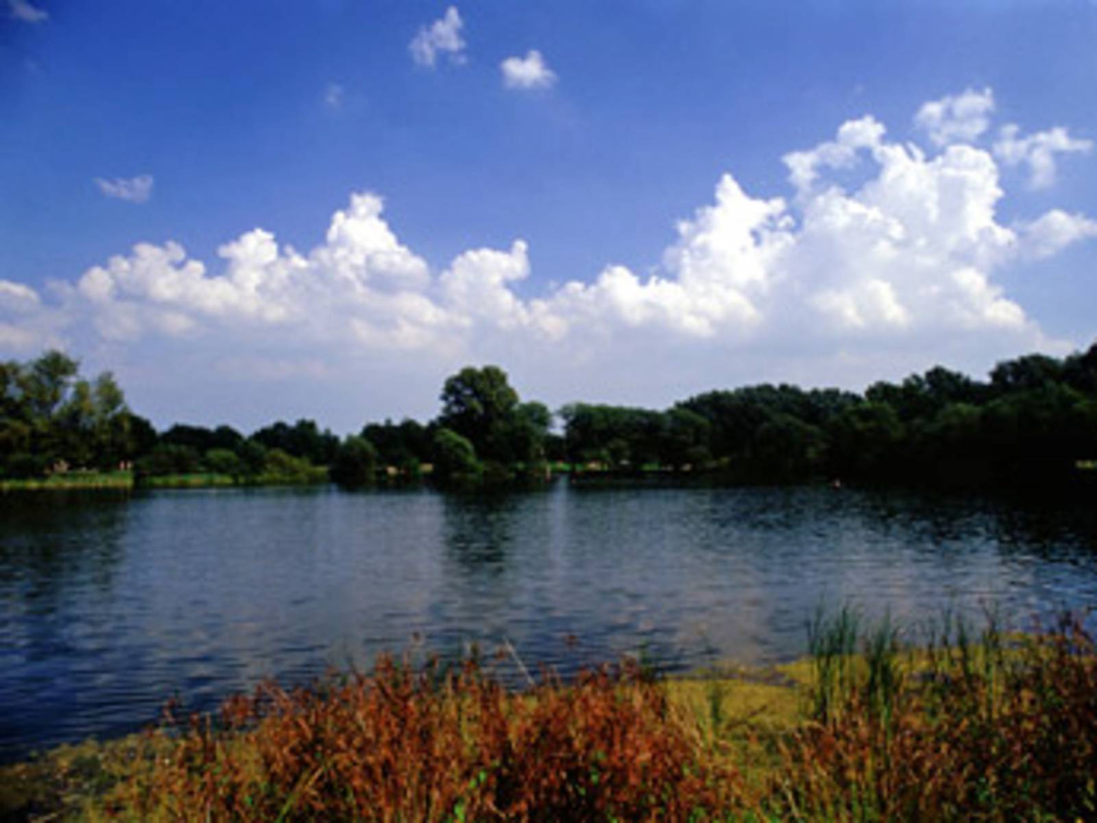
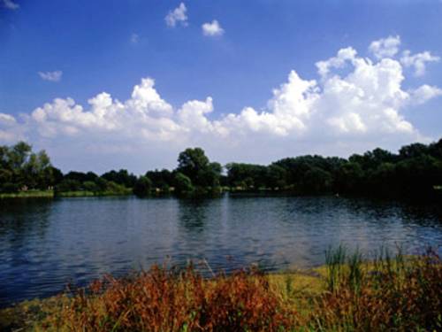
The Ricklingen gravel pits are part of the southern Leine floodplain, which stretches in a wide band from Lake Maschsee southward, extending well beyond the city limits of Hannover into the surrounding countryside. Shaped by gravel extraction in the second half of the last century, the landscape—featuring lakes, meadows, and willow groves between the districts of Ricklingen and Döhren/Wülfel—is now one of the most important large recreational areas in the city of Hannover and its surrounding region. It is a protected landscape area and is accessible via a well-developed network of hiking and biking trails.
Three bodies of water that are officially approved for bathing and registered as EU bathing waters are known as "Ricklinger Kiesteiche".
These include the "Dreiecksteich" (4.5 hectares of water), the southern part of the Ricklinger Teich (5.5 hectares of water) and the "Sieben-Meter-Teich" (6 hectares of water), the northern shore of which is a nudist area. There are large sunbathing lawns along the ponds that blend into the surrounding landscape. The only source of disturbance in this inner-city idyll is the Südschnellweg, which crosses the area. It is visually concealed by dense tree cover.
The remaining bodies of water in the southern Leine floodplain within the city limits of Hannover are reserved for quiet recreation and serve as a refuge for many animal and plant species, particularly waterfowl. Swimming is not permitted here.
Bathing lake
Ricklinger gravel ponds
Three huge swimming ponds offer recreational opportunities right in the heart of Hannover.
read